|
|
| Day 4 :: Home :: Day 6 |
|
2 July 2008 |
|
02/07 Day
5 Home is where the storm is! Despite there being another active thunderstorm day on the cards, we made a conscious decision to have a relaxing day instead. The weather, however, had other ideas, and simply wouldn't leave us alone! Cumulus clouds began to grow far earlier in the morning than during previous days, with large towers erupting skywards as the west coast sea breeze began to move inland by mid-morning. Before lunchtime, a small shower developed right overhead, giving several grumbles of thunder and spoiling our poolside morning. 8.6mm of rain fell over our apartment in less than an hour. These storms continued to rumble eastwards into the interior of Florida, allowing the hot sunshine to return to our relaxing poolside antics. However, we'd come to the conclusion that our Dodge Durango was too large, and far too gas-hungry (despite the comparitively cheaper fuel prices stateside). Therefore, we headed to Sarasota airport to swap our vehicle for a smaller model. Even at the airport, showers and thunderstorms were developing all around. Through the afternoon, strong thunderstorms across the Florida interior sent a strong outflow boundary back westwards towards the Gulf Coast. This arrived in Bradenton by early evening, firing a huge area of thunderstorms directly overhead. Some frequent and very close lightning strikes were witnessed, together with gusty winds and 12.7mm of rain in 90 minutes. These storms only very slowly rumbled themselves out during the evening, leaving a much cooler night with temperatures falling to a bone-biting 24°C! Total mileage: 24 |
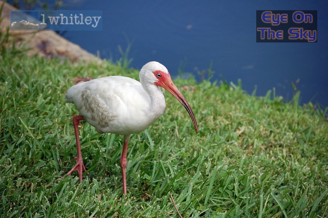 Just one of the many local residents who arrive just in time for breakfast each morning - an ibis. . |
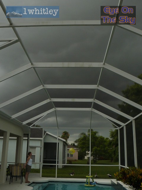
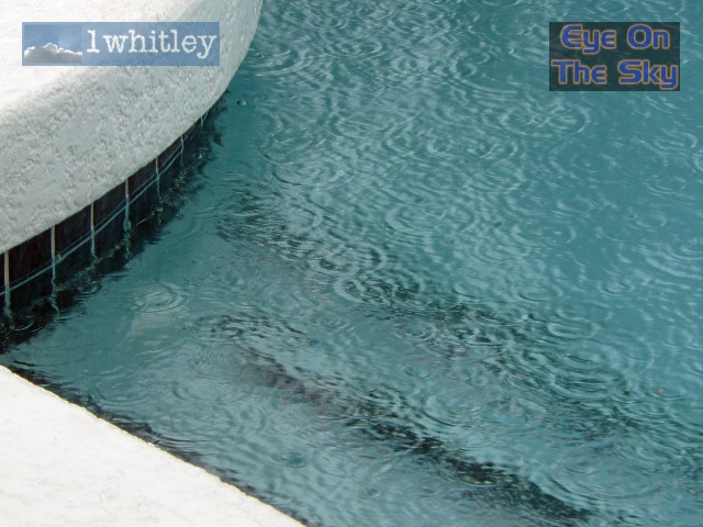 The morning pool session is interrupted. . |
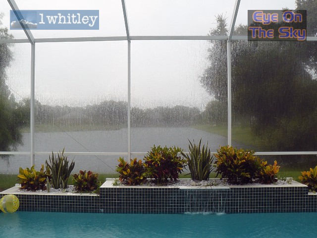 Staring through a rain-soaked pool mesh makes a change from staring through a rain-lashed windscreen. . |
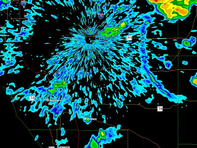
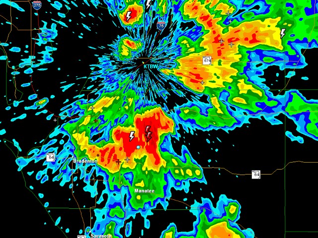
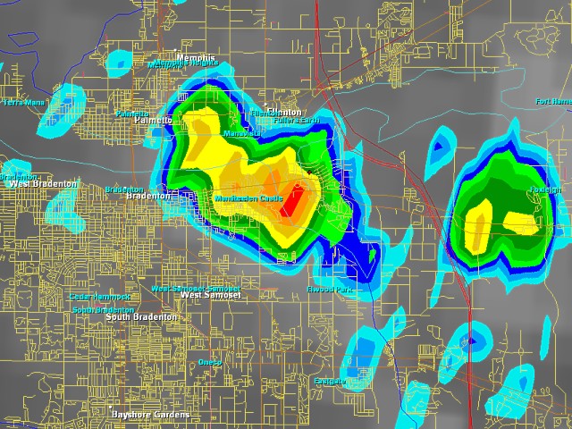 And this cheeky little chap, less than 2 miles wide, sat over our villa for nearly an hour! The villa is represented as the small red cross, just north of the heaviest rain core. Radar grab from GRLevel3 at street level. . |
 The thunderstorm slowly moves away north-eastwards. . |
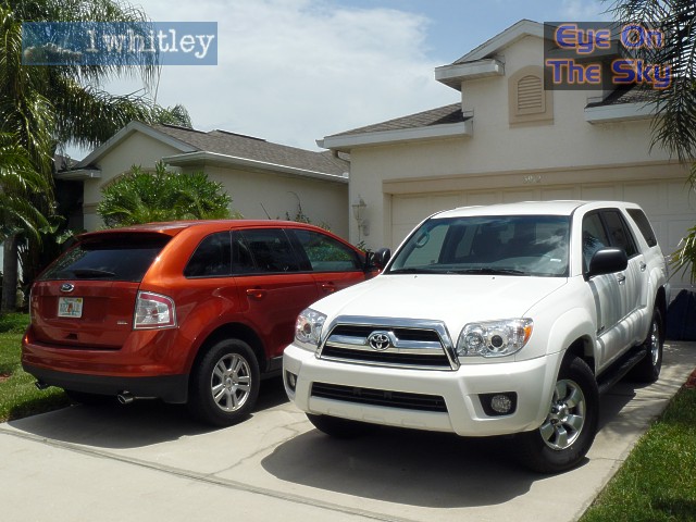
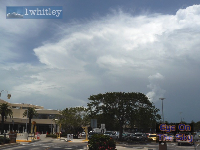 It was then on to Sarasota airport, where even these towering thunderclouds were not going to distract us from the business of off-loading our gas guzzling monster! . |
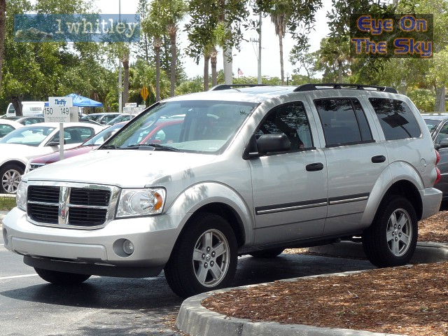 So it was out with the old..... . |
|
|
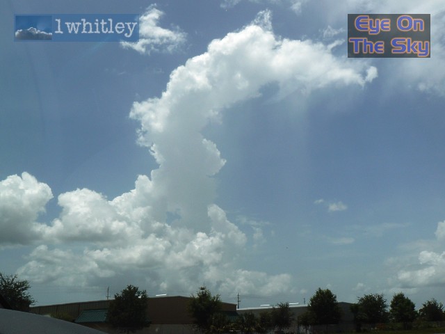 And the award for the skinniest thundercloud ever goes to.....! . |
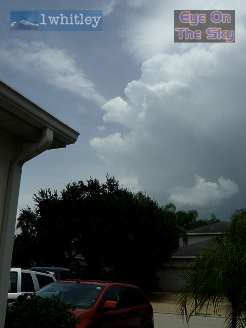
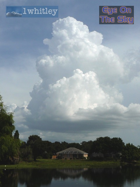 Back at base by early evening, and the skies began to look productive once again as most of the Gulf Coast's moisture began reaching for the skies. . |
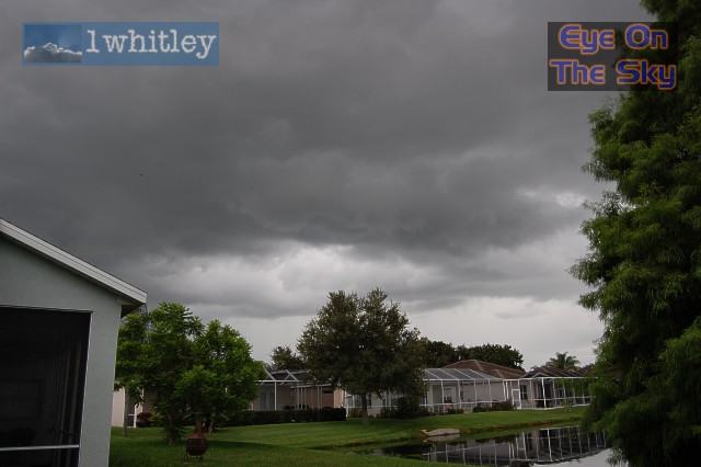 It wasn't long before the skies filled with darkening clouds and thunder began grumbling in the distance. . |
 As an outflow boundary neared from the east, clouds exploded skywards and lightning began slamming down all around the villa. Shortly after this, an hour-long deluge began. . |
|
|
 Just 30 minutes after the previous radar grab, thunderstorms had exploded along the outflow boundary. Bradenton is marked just to the left of the large red cluster of storms. Radar grab from GRLevel3. . |
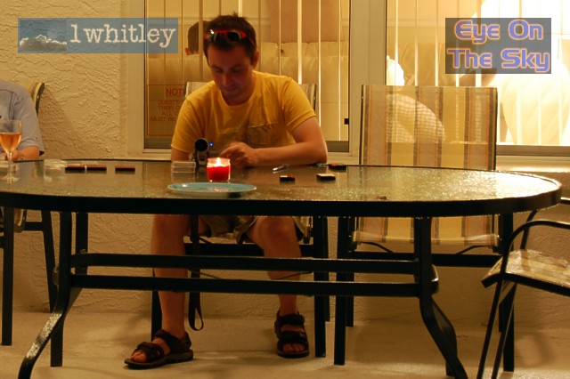 Bren suddenly realises he hasn't been labelling the video taped footage of the last few days, so begins the arduous task as watching through film to figure out what's what. What a crazy party-animal way to spend an evening! . |
| Day 4 :: Home :: Day 6 |