|
|
| Day
2 2nd July 2006 |
|
2nd
July 2006: Day 2 First
chase: sky-filling thunderstorms. The general surface flow was easterly, but as the westerly sea breeze set in by early afternoon across Florida's Gulf Coast the convergence zone triggered the first of the day's thunderstorms. This small but active thunderstorm, which we could see from the villa, moved northwards towards us, hugging the coast as it did so. At the same time, an upper disturbance (tropical wave) across central and eastern Florida was already breeding widespread thunderstorms... the shuttle launch was postponed for a second day as a result! We decided to head northeastwards to view the storm heading for Bradenton, and then decided to head further inland to the Hillsborough/Polk county line. A huge outflow boundary from the storms across central Florida in the preceding hour triggered widespread thunderstorms across this region soon after we arrived. Thunderstorm motion and speed was generally northwards at 10mph, although the racing outflow boundary accelerated this considerably. During the storms we witnessed straight-line winds of around 30-40mph, frequent and dangerous cloud-to-ground lightning, and seriously torrential rain and road flooding. In fact St Petersburg, north of Bradenton and to the west of where we were chasing, recorded 28mm of rain in an hour. Unfortunately the prolific development of the storms and the rapid expansion of anvils ejected very stratified and stable incursions of air resulting in widespread persistent rain. The chase was over! We
returned back to base to see the back edge of the huge area of precipitation
clearing to the north. Late afternoon and early evening were considerably
cooler, with temperatures around 26°C (79°F). Total mileage: 128 |
| 6 |
|
|
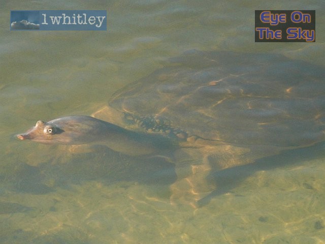
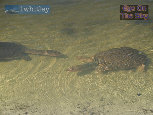 There's quite a few in the lake behind the villa! . |
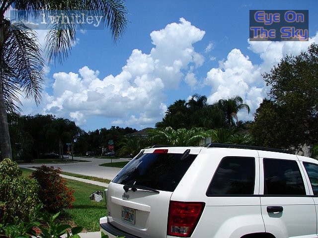 Around midday as temperatures soared, explosive convection commenced . |
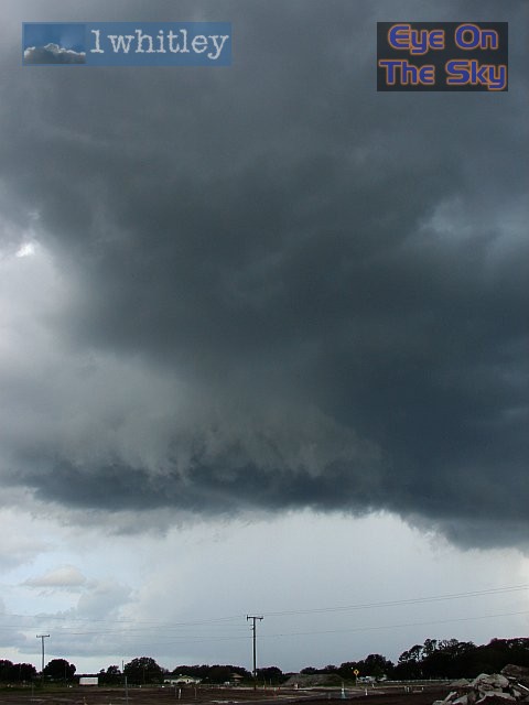
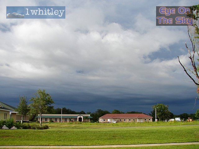
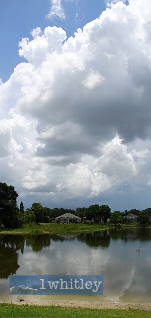 Looking south, cumulus erupted, and on the horizon the first sea-breeze thunderstorm of the afternoon . |
|
|
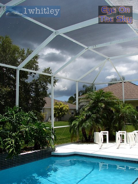 One last chance for a dip before the skies unloaded! Thunder was rumbling around by this time . |
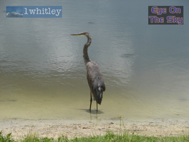 Another neighbour, a Great Blue Heron (there's also a Great White Heron living by the lake) . |
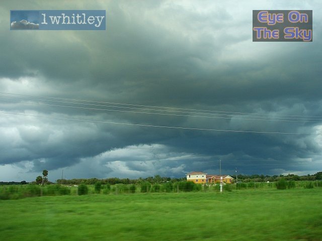
 Out on the chase, just off Hwy 301, a developing gust front moves towards us . |
|
|
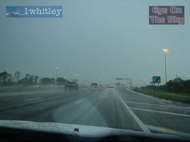
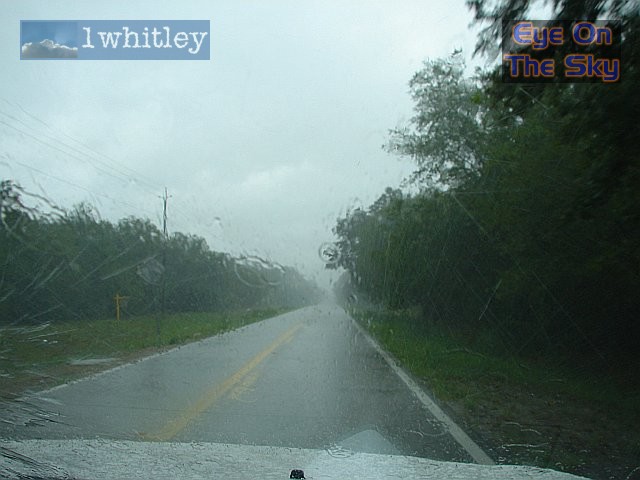 Storms were just too fast for us, and we were inundated with torrential rain and road flooding . |
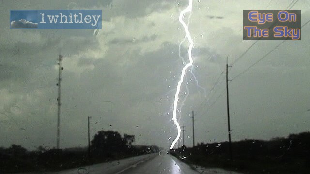 CGs were firing down frequently, but few as close as this, which hit the deck between us and the fourth telegraph pole! The thunder was car-shaking! . |
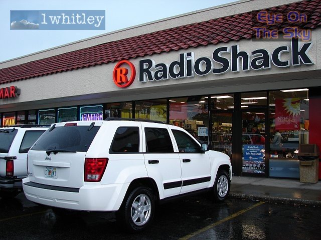 We found time to stop off and pick up our NOAA weather radio in Plant City (Hillsborough Co.) ;-) . |
 Widespread heavy rain (without lightning)... could almost be a scene from the UK! . |
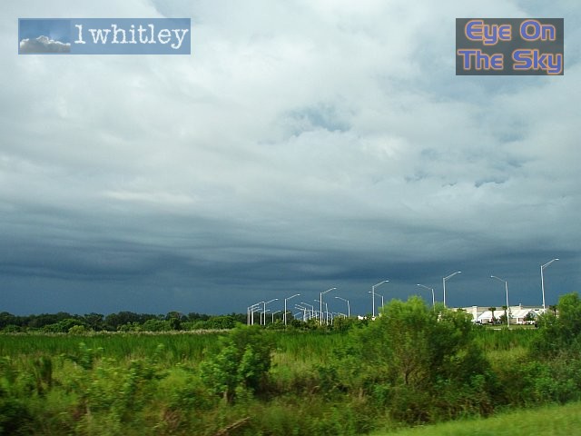
 Every cloud has a silver lining... the back edge of the rain area . |
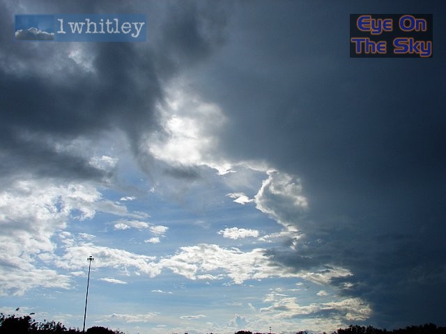
 Layered clouds in the wake of the thunderstorms . |
 More of those layered clouds . |
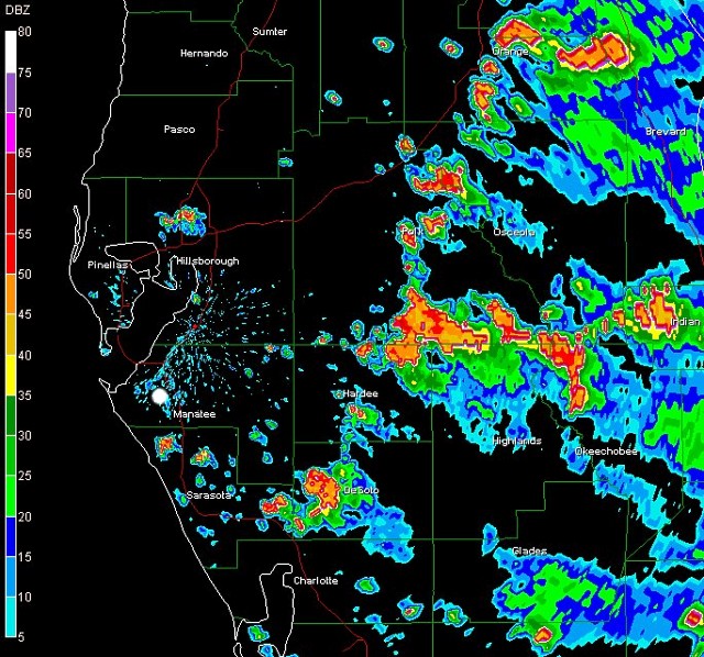
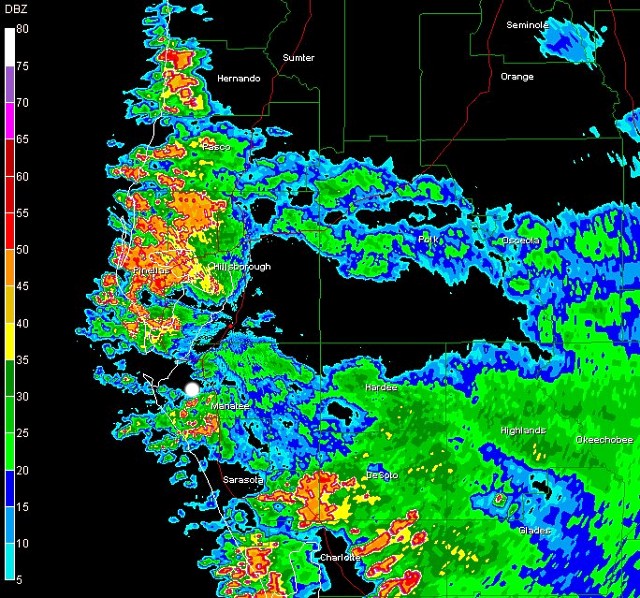 If proof were needed, west-central Florida disappears beneath widespread rain and thunderstorms Radar from GRLevel3 . |