|
|
| Day
11 11th July 2006 |
|
11th
July 2006: Day 11 The
tropical washout! In reality, the nasty sea-breeze thunderstorms arrived with a vengeance around midday across the west coast, putting out a good deal of upper and mid level cloud and showers for the rest of the day. Conditions were far from photogenic, and the second half of our day ended in a serious 'bust' once again. We drove to west Bradenton during the convergence thunderstorms. These quickly filled out and engulfed us, with very close lightning and monsoon-like rain. The rain was so heavy, that flood water spilling out of the city washed across our beach-front carpark at such a rate, that sea and land merged into one. At one point, we wondered whether our Jeep would start floating out to sea! Once these storms began to fall apart, we headed northwards up Interstate 75 to intercept stronger thunderstorms developing along the west coast sea-breeze to the north of Tampa and St Petersburg. However, these storms developed just too fast for us, and our NOAA weather radio crackled into life as a severe thunderstorm warning was transmitted. Some reports came in of thunderstorm wind damage: 2000
UTC (4pm EDT) 2030
UTC (4.30pm EDT) Too late to see these, we turned around and headed home. Skies were mainly cloudy at this point, with occasional showers. However, the clouds did break towards sunset, giving a pretty scene across the lakefront neighbourhood as the sun went down. Total mileage: 140 |
| 6 |
|
|
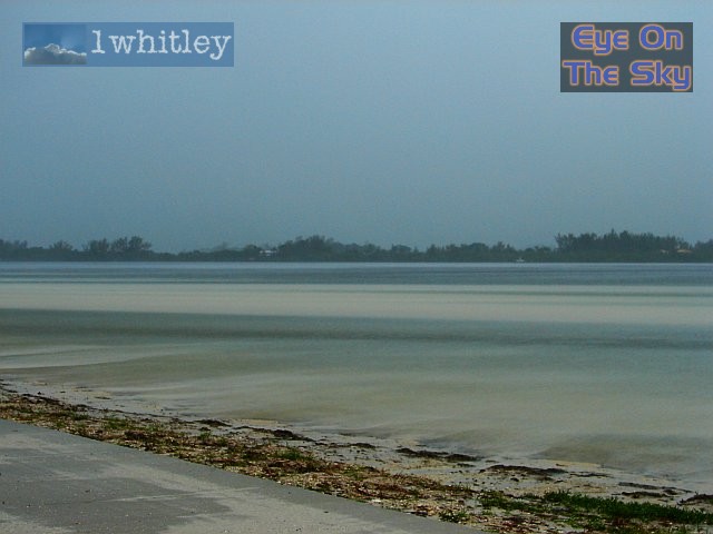
 Down on the Gulf coast, we looked southwards from our car-park on the lagoon, as the storm rains moved in. The white, hazy sheet on the water surface in the distance was the approaching torrents of rain! . |
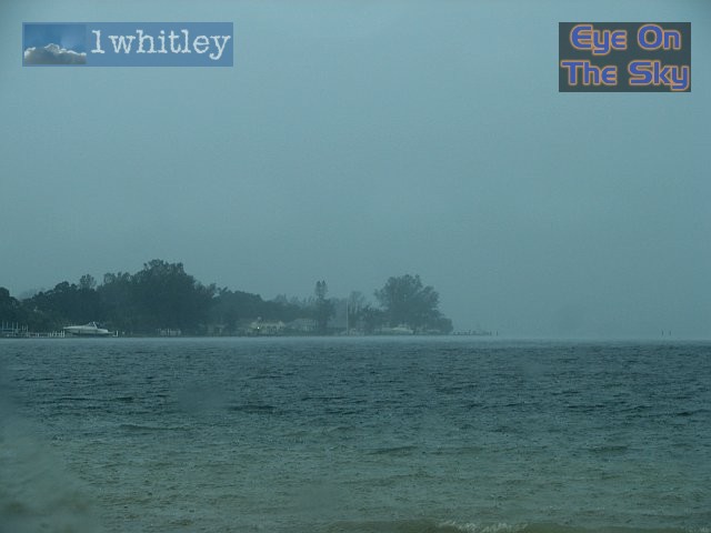
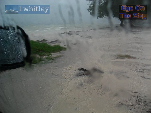 All hell let loose when the rain arrived. CG lightning slammed around us, shaking the car. Rainfall simply ran out of Bradenton, and turned the car-park into a river. The level of water quickly raised to meet the increasingly rough seas, and our parking spot essentially became part of the Gulf of Mexico! . |
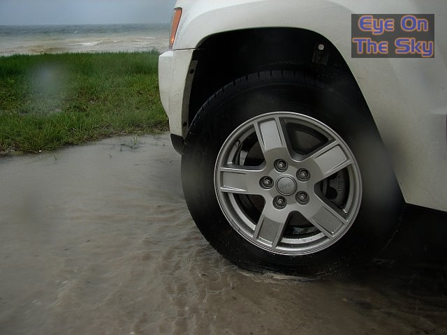 A couple of inches of rain/sea water began to fill the car-park in which we were parked up. . |
|
|
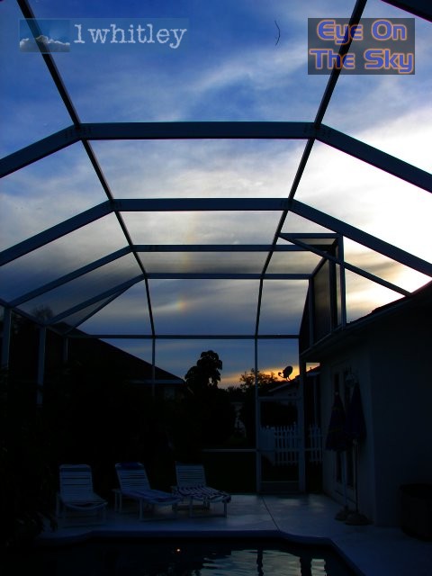 Clouds began to break in the evening, and over the villa's pool, a sundog and part of a halo were visible in the dissipating anvils. . |
 A local resident popped by for his nightly chat (and feed) as we munched our dinner. . |
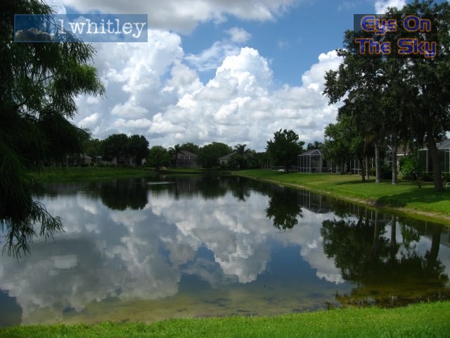
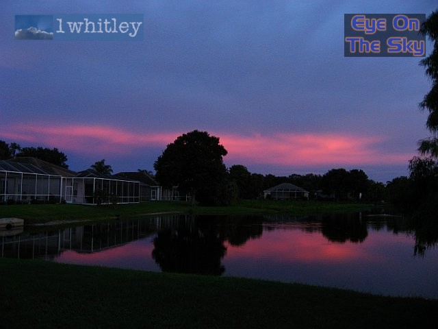 Sunset over the lake. . |
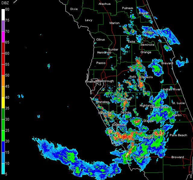 The radar shortly after noon, showing clearly the line of nasty thunderstorms developing along the sea-breeze on the west coast. Radar from GRLevel3 . |
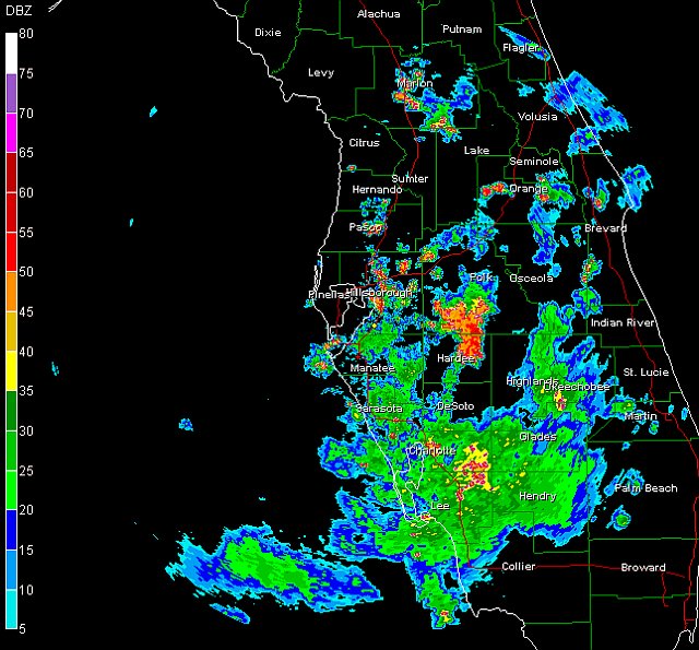 The radar from mid-afternoon, showing how much of the showery activity had given way to widespread rain. The exception, was the narrow line of severe thunderstorms approaching Hillsborough County. Radar from GRLevel3 . |
| Day 10 :: Home :: Day 12 |